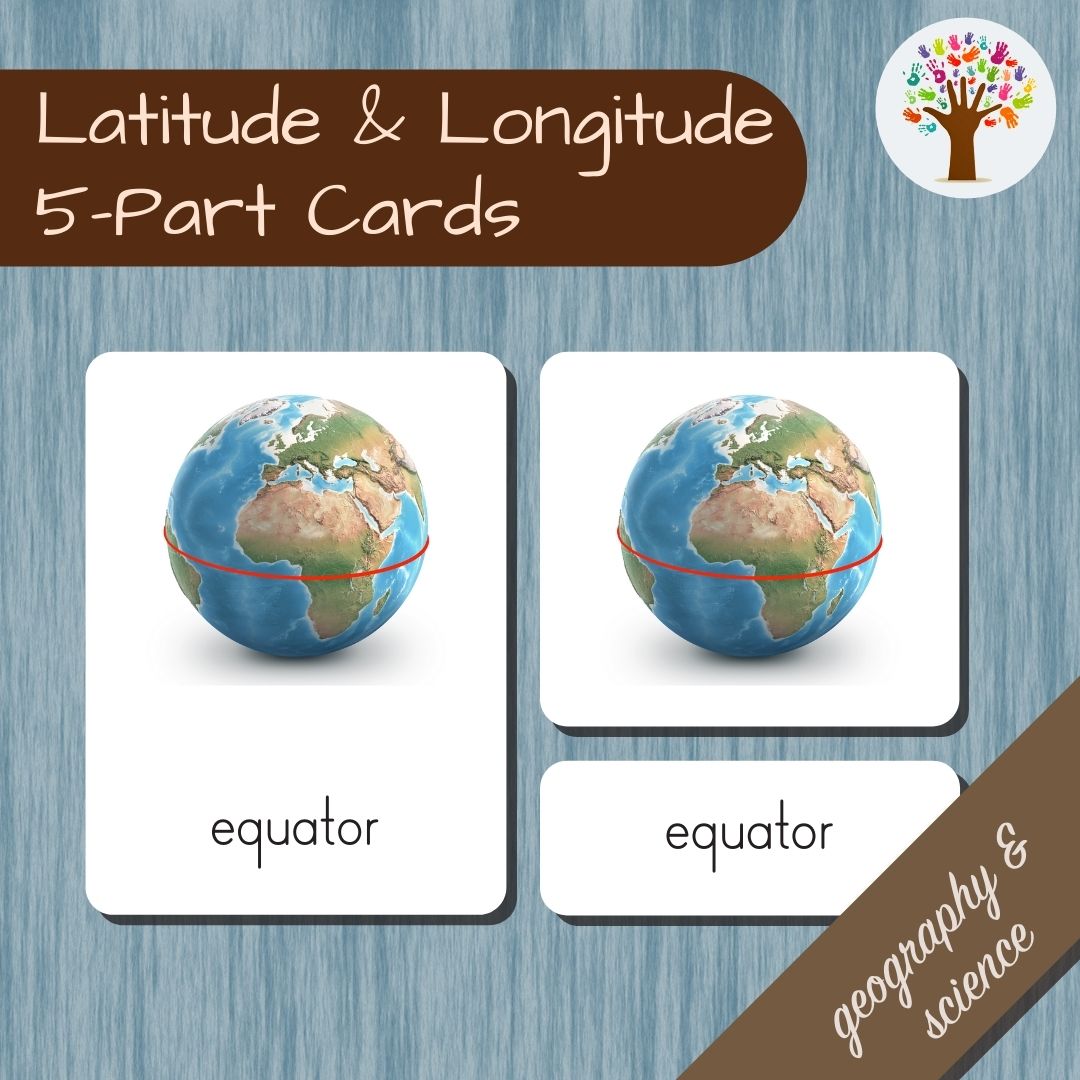
Latitude & Longitude Classified Cards
Latitude & Longitude Classified Cards
Couldn't load pickup availability
This digital download features important terms for the study of the Earth. Ideal for Montessori elementary classes and homeschoolers. Latitude and longitude are vital concepts for time zones, European-type navigation and mapping.
Content
Control cards, pictures, labels and text for:
-
latitude
- longitude
- equator
- prime meridian
- southern hemisphere
- northern hemisphere
Also includes a control booklet and blank cards. With detailed assembly instructions (it’s easy - print, cut, done!).
How To Use
Basic instructions are included. Check out our blogs and videos for more.
Need a video?
What Are Classified Cards?
Montessori 3-Part Cards usually consist of three pieces:
- a control with the picture and its name
- a picture without the name
-
a label without the picture
Ours come with an extra text card for readers and a control booklet so the work is self-correcting and independent! You can choose to include the optional cursive label (D'Nealian font) or just use the print version
3-Part Cards are used to explore a variety of topics that are otherwise inaccessible in a normal classroom or home, bridging space and time. They can be matched to real objects or each other, used as a kind of flashcard in a 3-Period Lesson, adapted for memory games and serve as reading practice.
Explore latitude and longitude with original illustrations and simple text. Using our cards for learning develops order, reading and visual discrimination. They build vocabulary and help with classification and categorisation. Not only that, they make learning fun and easy!
Share


